Partners of the Global Open Data for Agriculture and Nutrition (GODAN) initiative call for political leaders at COP21 to make the most obvious data open; “farmers need weather data in order to adapt to climate change”. Climate Change and Agriculture …

Climate Smart Agriculture and Open Data at COP21 Read more »

Partners of the Global Open Data for Agriculture and Nutrition (GODAN) initiative call for political leaders at COP21 to make the most obvious data open; “farmers need weather data in order to adapt to climate change.”   What is the …

Open data & Climate change – Agriculture trends for COP21 Read more »

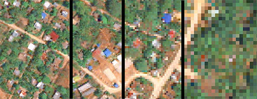
In the past few years there have been a growing array of development projects using satellite images. Some recent examples from our blogs are poverty measurement in Guatemala, overview of the ESA satellites partnership with the Bank, monitoring oil flaring, …

Satellites for development, what is in it for you? Read more »

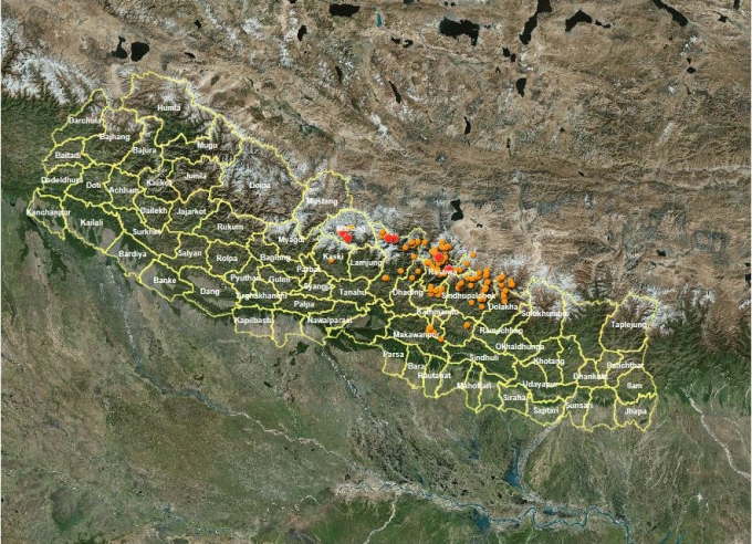
This map shows landslide sites. ICIMOD a team led by NASA and the United States Geological Survey (USGS) maps and monitors potential geohazards using satellite data. One of the first things I did after the earthquake on 25th April was …

In post-earthquake Nepal, open data accountability Read more »

How does a block of ice nearly the size of Connecticut, which has existed for over 11,000 years disappear in less than 70 years? The full article is available on The BLOG at Huffington Post: http://www.huffingtonpost.com/todd-r-miller/the-sunset-of-antarcticas_b_7921112.html      

By Brian Jacobs From the Losing Ground interactive. It began in February 2014. A few of us at ProPublica headed uptown to the Tow Center at Columbia for a two-day crash course that helped define this project. From Lela Prashad, …

How We Made Losing Ground Read more »

Rezatec helps businesses map their land-based assets using complex information from Earth Observation (EO) and other data from a wide range of sources, including satellite images, to provide mapping, measuring and monitoring support.  Located in the Harwell Space Cluster in …

Rezatec is GODAN’s latest partner Read more »

An example of a bit-error changing a URL as part of Artem Dinaburg’s bitsquatting post   Here are some (of the rather a lot of) things that caught our attention last week. Brandon Rishel’s “Cartographers Without Borders” map has been doing …

Data Lab Link Roundup: Data impacts, satellite economics, bitsquatting, a favorite number, giving trees email addresses and more… Read more »

The UK Department for Environment, Food & Rural Affairs (Defra) has announced that it will release at least 8,000 open datasets in the coming months. It is hoped that by making satellite imagery freely available to the public, it will …

Defra to release open satellite imagery that could transform food and farming Read more »

Search the term “what is crowdsourcing” and Google will immediately cough up the following definition: “[To] obtain (information or input into a particular task or project) by enlisting the services of a number of people, either paid or unpaid, typically via …

What Is Crowdsourcing? Read more »