Mashup of posts on a single map
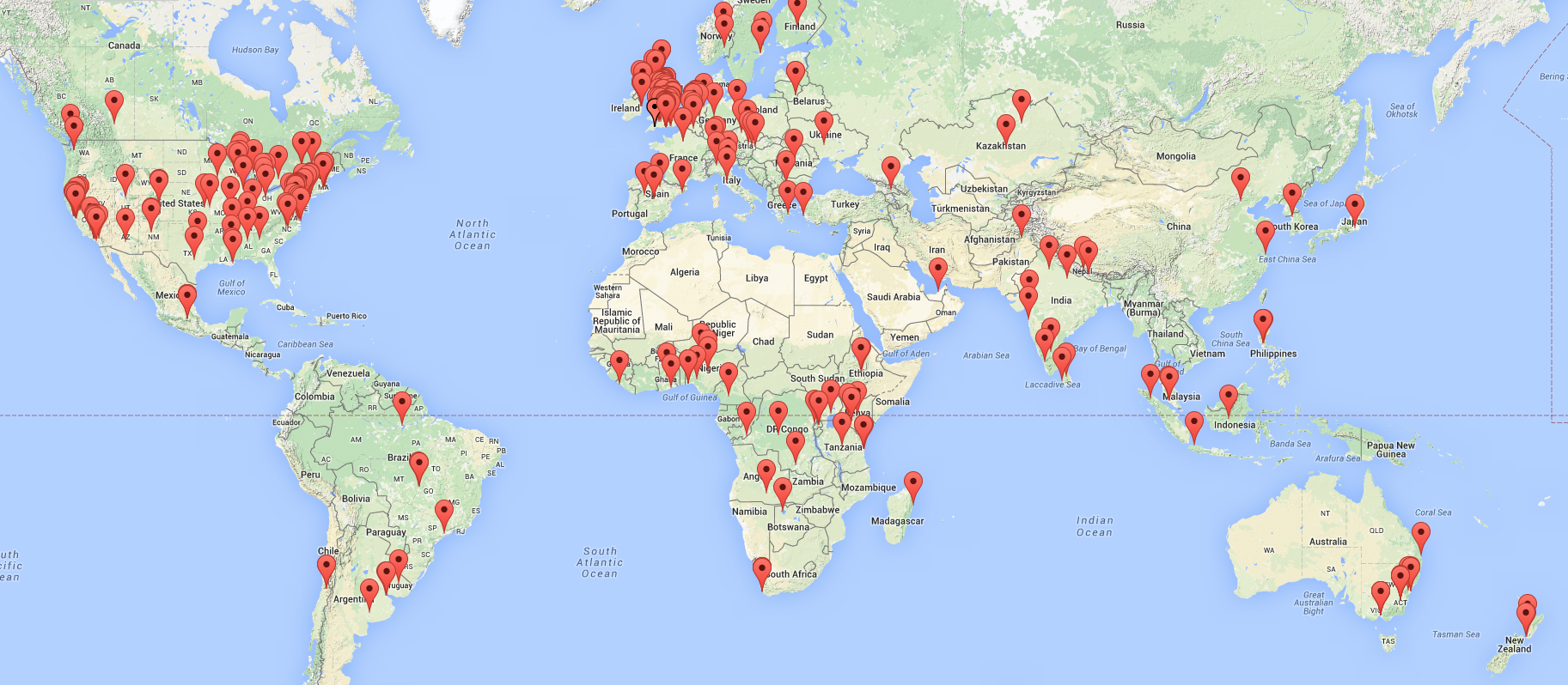
Helping to put open data on the map – an experiment showing posts as pins on an interactive map of the world.
Be warned, geotagging is currently pretty arbitrary, as some posts don’t refer to any one location. Typically:
- If the post is about a specific place and there’s an address already published, that’ll be used.
- If it’s about a city, it’ll be tagged to the centre of the city
- If it’s about a country, and there’s no more specific information, the Capital city will be used
- If there’s no location mentioned at all, then the location of the publisher will be used (if that information is readily available)
- If the author has a public Twitter profile, and they state a location, that’ll be used
- If there are no reasonably obvious clues as to a location, then the post won’t appear on the map
View the main map (please be patient whilst it loads!)
- New versions will follow, e.g. to allow tag / category selection. Some first efforts at maps for topic areas in the list below:
-
Crime & Justice
-
Aid / International Development
-
Policy & Decision Making (inc open data policy as well as wider policy)
-
Food & Farming
-
View the main map
